- Mon - SAT: 6.00 am - 10.00 pm
- Sun: Closed
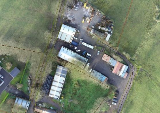
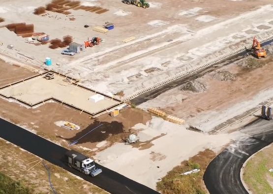
We offer a full range of survey services including UAV mapping, providing an accurate, professional and efficient service, that saves you money.
Contact us for a free consultation to see how we can help.Our fully qualified and insured Pilots are also professional Land Surveyors. We have integrated UAV technology to provide a more efficient survey service.
Contact us for a free no obligation consultation, to see how we can help.We are delighted to bring the Tersus-GNSS range of high accuracy GNSS receivers to the Irish market. Centimetre accuracy with callibration free tilt.
Contact us to know more and see how you can save on your next survey grade GNSS purchase.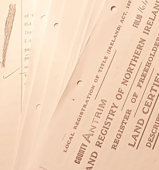
Michael Hannaway FRICS C Eng Svg, our chief surveyor and CEO is an acknowledged expert in Boundary and RoW issues with over 35 years in the profession.
Michael has delivered CPD events to Solicitors groups and Surveyors on RoW issues, Boundary determination, the causes of Boundary Disputes and how to resolve them.
He has been instructed in a wide variey of matters,including criminal cases where there was issues of jurisdiction in respect of the location of the NI/ROI border in respect of the arrest of suspects.
He has also advised on many domestic and high value commercial Land disputes.
As Professional Land Surveyors we can comment on the extent of Title, and provide accurate mapping for Licensing, Property Registration, Estate Planning, and Land Sub-division.
Thank you for your excellent survey, delivered promptly. We will certainly be using your services again

Major quality housebuilder
Mr Hannaway is a most impressive witness.
The defendants asked him no questions, I can understand why.
Northern Ireland Court of Appeal